 https://aarch.dk/wp-content/uploads/2018/10/DSC_0014_01.jpg
600
397
Signe Janderup
https://s3-eu-central-1.amazonaws.com/aarchdk/wp-content/uploads/2019/02/03164631/aarch-logo-dark.svg
Signe Janderup2018-10-29 10:40:312019-03-15 14:28:33The Robot Lab
https://aarch.dk/wp-content/uploads/2018/10/DSC_0014_01.jpg
600
397
Signe Janderup
https://s3-eu-central-1.amazonaws.com/aarchdk/wp-content/uploads/2019/02/03164631/aarch-logo-dark.svg
Signe Janderup2018-10-29 10:40:312019-03-15 14:28:33The Robot LabThe school has two different 3D scanning and digitisation systems for surveying and metrology. The two systems can be used individually or combined.
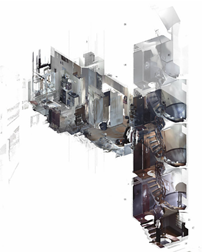
Space Scan: Faro FOCUS 3D
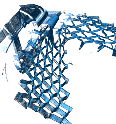
The Faro Focus 3D is a laser scanner that creates a surrounding point cloud from a centred position. Multiple point clouds can be combined to generate a complete documentation.
The Faro Focus 3D uses GPS, compass, height sensor and axis compensation, in addition to the laser scanner, in order to orient each scan. This type of scanner is well suited for large-volume scans such as landscapes, cityscapes, buildings and interiors.
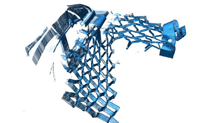
Object Scan: Faro Edge Arm and Laser Line Probe HD
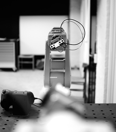
This high precision metrology equipment is both a contact and non-contact based system built around a 7 axis arm. Through coordinate measuring with a contact probe, the arm can be used to define lines, planes and geometry from physical objects directly into the computer or as a drawing tool with instant digitisation. The added laser line scanning probe makes it possible to make high-definition point cloud scanning alone or in combination with the measuring probe.
The Faro Edge Arm and Laser line Probe HD is feeding information directly into the computer and is great for inspection, scanning or measuring objects from the size of a coin to the size of a car.
Related
YOU MAY ALSO BE INTERESTED IN

