In the fall of 2019, the Danish government set aside DKK 1.5 billion for green research from the so-called research reserve. Aarhus School of Architecture has allocated two million of these funds for pilot projects that can further the green transition. At Aarhus School of Architecture five research projects have been chosen to receive this funding. This project is one of the five selected projects.
The ten largest towns of Denmark are coastal towns – as are 50 of the 100 largest towns of Denmark. 468,000 buildings are estimated to be at risk to flooding. The problem, however, is that we try to keep seawater out of our towns with dikes and dams, while we, at the same time, create new flooding problems in the event of cloudbursts by constructing new buildings and hard surfaces. In short, we create a ‘bathtub effect’ which makes waters meet in the towns.
With today’s planning and urban development practices, the different levels in terms of municipal planning visions, sectoral-level planning, development plans and local development plans are not interconnected when it comes to water movement, water catchment, landscape features and local characteristics/opportunities. We see this as a missing link between water, landscapes and urban development.
By reintroducing the landscape and water as a starting point for urban development, the project identifies an important opportunity space for a blue-green transition that can help us rethink the practices of contemporary urban development – as citizens, developers, planners and politicians.
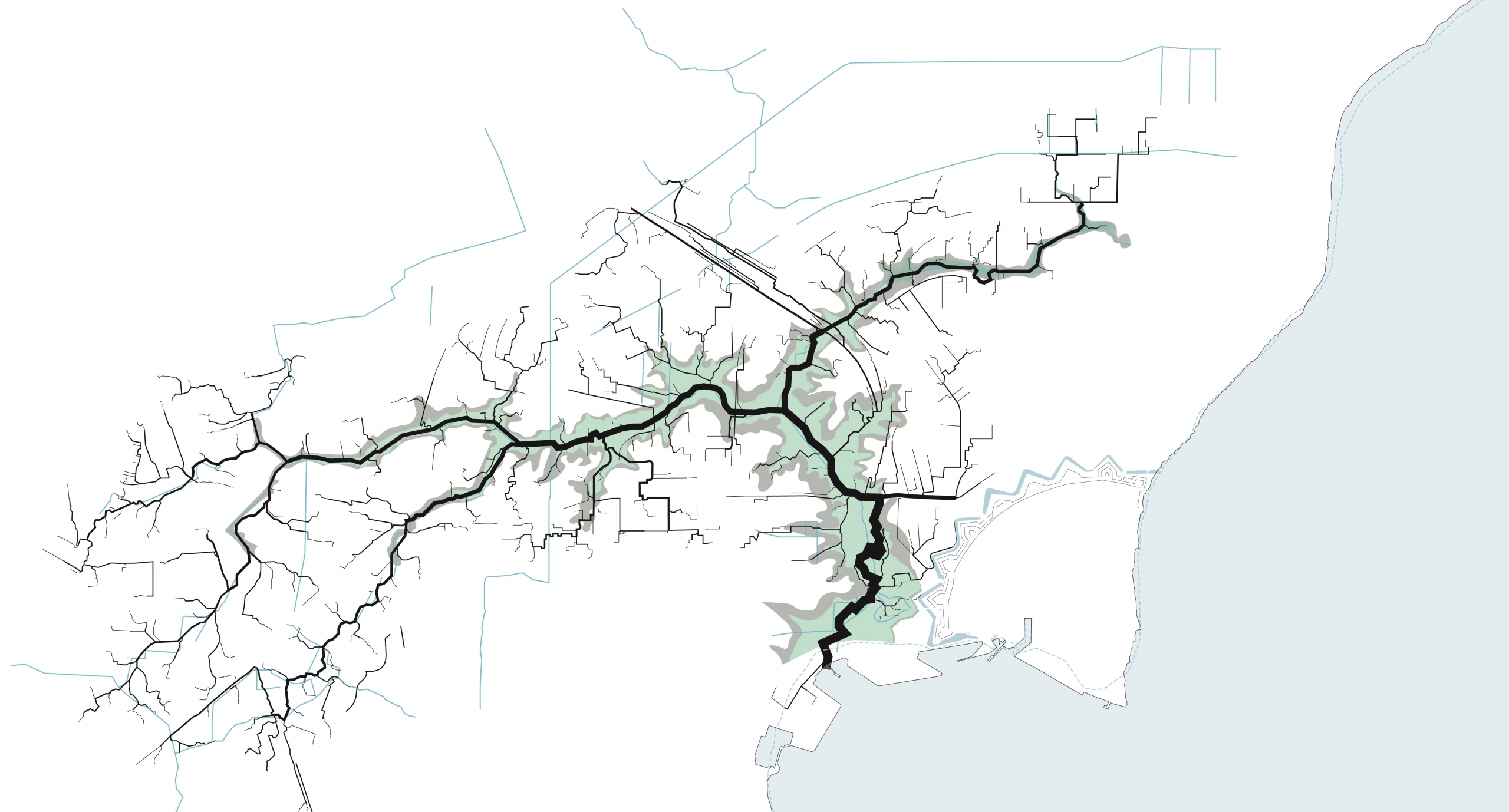
The pilot project seeks to develop landscape architectural methods for analysing and visually communicating landscapes and the paths taken by water in urban landscapes. This is done as part of the blue-green transition of tomorrow’s cities focusing on climate adaptation for cloudbursts and rising sea levels. It is based on interconnecting urban development, landscapes and water across levels of planning, while focusing on existing resources and sustainable derived effects – added values that can be related to the UN goals for sustainable development.
Through case studies in two Danish coastal/fjord towns, the project aims to develop methods for identifying ‘the cityscape of water’. This is communicated as an Urban Atlas of Water. In terms of methods, Research by Design (RbD) is used in case studies and action research involving municipalities and public utility companies.
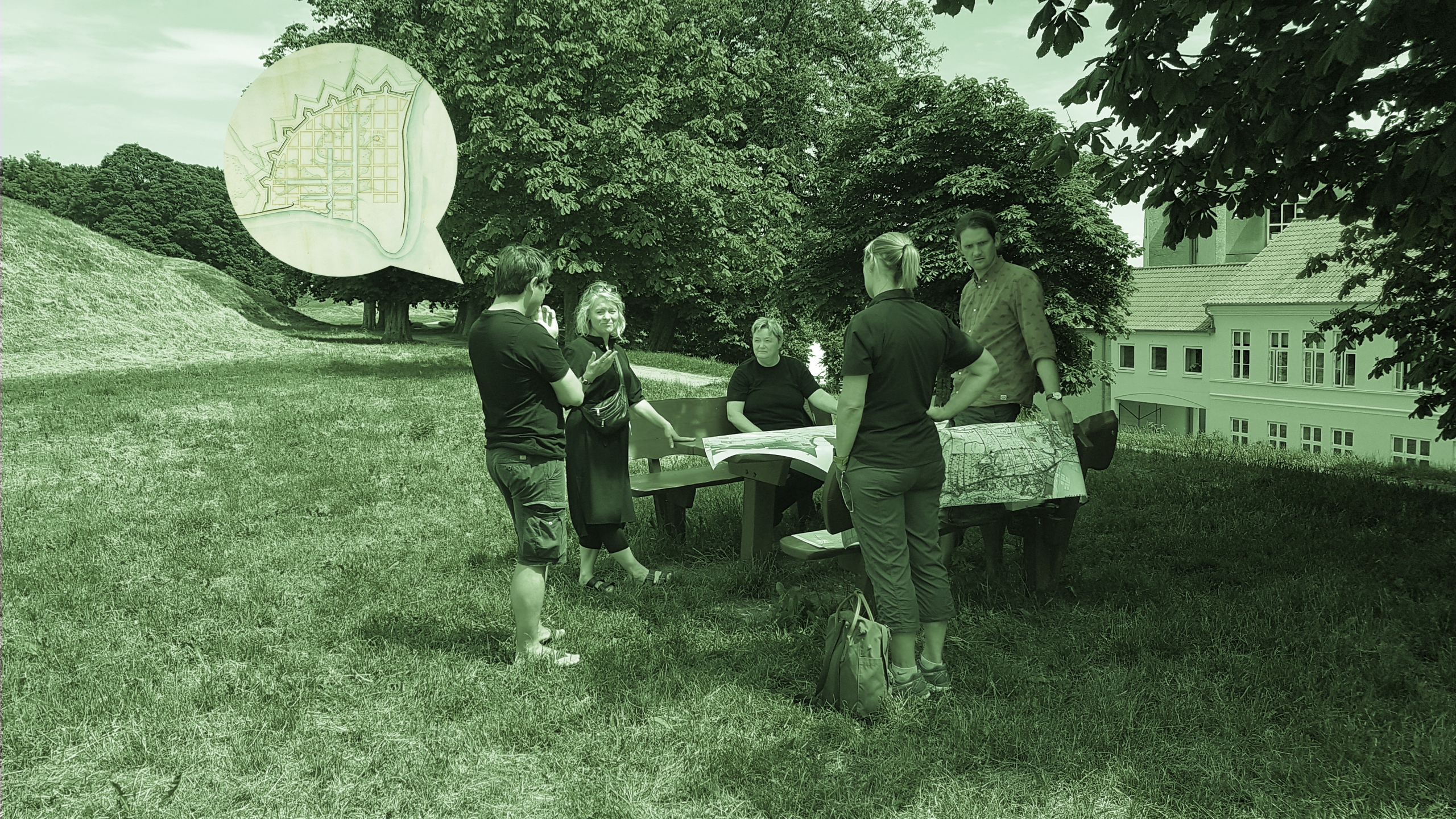
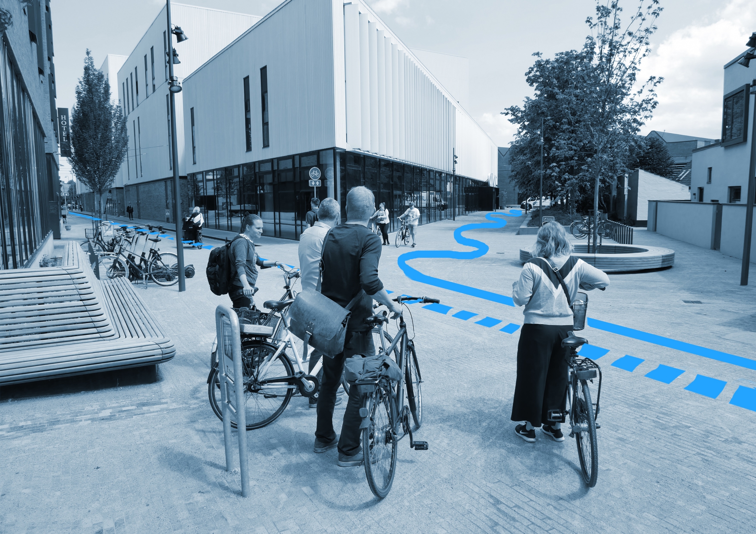
The case studies are carried out using landscape architectural methods such as mapping and field studies, as well as interdisciplinary, cross-sectoral cooperation with utilities and municipalities in the two case towns. Knowledge exchange with stakeholders in water, climate adaptation, planning, etc. who also possess local knowledge is a priority for the project.
External partners
- Odense Kommune
- Vandcenter Syd
- Fredericia Kommune
- Fredericia Spildevand & Energi
Research group
By og Landskab
Participants
- Tom Nielsen
- Katrina Wiberg
- Anne Mette Boye
- Mathias Meldgaard
The research project is connected to Research Lab 1.
CONTACT
Related
YOU MAY ALSO BE INTERESTED IN

